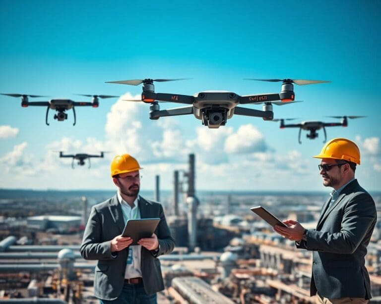
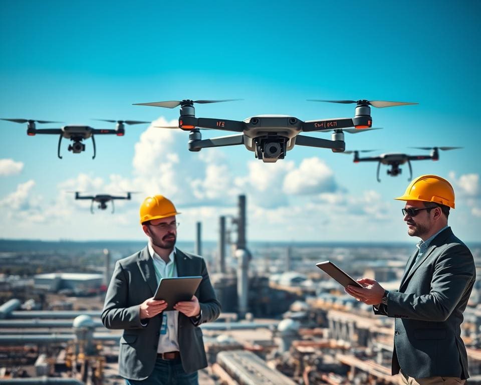
Industrial drones are remotely piloted, and increasingly automated, aircraft fitted with cameras and specialist sensors. They help you inspect buildings, structures, equipment and active sites without sending a team into every difficult area.
Across the UK, you can use them to gather visual and technical data from roofs, towers, bridges, chimneys, power lines, storage tanks, construction sites and rail assets. This makes drone inspections UK businesses more practical, especially where access is slow, costly or hazardous.
Modern aerial inspection technology can help you collect information faster, reduce work at height and create clearer records for maintenance planning. Commercial drone surveys may also show defects that are difficult to identify from ground level.
However, unmanned aircraft systems do not replace competent inspectors. Qualified engineers, surveyors and asset managers still need to assess the evidence alongside established inspection methods.
This article explains how drones support industrial asset inspections across UK workplaces. It then examines safety, costs, sensors, artificial intelligence, digital records and the practical steps you should consider before adopting the technology.
How industrial drones are transforming inspections across the UK
Industrial drones give you a faster way to review large or complex assets. They support factory drone inspections, infrastructure inspections and industrial site surveys across manufacturing plants, warehouses, ports, railways and energy facilities. Flights can cover roofs, façades, yards, towers, pipelines and solar installations with less disruption to daily operations.
Before each flight, the operator surveys the site and identifies obstacles, hazards and access limits. Weather, airspace rules, battery capacity and data needs guide the flight plan. The aircraft and sensors are chosen to match the inspection task, site conditions and required level of detail.
Faster inspections of factories, infrastructure and industrial sites
Drone roof inspections can capture broad areas without scaffolding, rope access or temporary platforms. The same approach supports aerial asset surveys at bridges, quarries, water-treatment sites and wind turbines. UK drone inspection services can collect useful imagery while many sites remain in operation.
Speed depends on site complexity, permissions, weather and the type of inspection. Battery limits, airspace restrictions and detailed data requirements can extend the work. Planned flights can support scheduled maintenance, routine condition monitoring and post-event assessments.
High-resolution aerial data for more accurate assessments
High-resolution drone imagery gives you a clear record of surfaces, joints, coatings and equipment. Aerial inspection data can support photogrammetry, mapping and visual asset assessment. When captured under suitable conditions, it can improve drone survey accuracy and help teams compare changes over time.
Specialist software may support industrial defect detection, but technical review remains important. Engineers can assess the images in context and decide whether a closer examination is needed. Drone data can provide an initial overview before targeted hands-on inspection.
Supporting inspections in difficult-to-access locations
Remote industrial inspections reduce the need to place people near unstable structures, traffic routes or active machinery. Hazardous area drone surveys can support work around energy facilities, storage areas and process equipment. Confined-space drone inspections may help review enclosed structures where normal access is slow or unsafe.
Drones provide work-at-height alternatives for many visual checks and support inaccessible asset inspections at towers, stacks and pipelines. Offshore drone inspections can review platforms and vessels without sending teams to every external surface. These methods can improve access while keeping technical judgement at the centre of the inspection.
Improving safety while reducing industrial inspection costs
Safe drone inspections can reduce the need for people to climb towers, roofs and other structures. You may need fewer scaffolds, cherry pickers and temporary access systems. This supports work-at-height safety and limits contact with unstable surfaces.
Drones can reach areas affected by traffic, moving machinery, contamination or extreme temperatures. They can inspect tanks, chimneys, bridges and roofs while workers remain at a safer distance. This approach may reduce falls, struck-by incidents and exposure to harmful conditions.
Financial benefits depend on the site and the inspection plan. Shorter inspection windows can reduce site disruption, access equipment hire and specialist access hours. Better drone inspection efficiency may help you focus close inspection work on areas that need it most.
Industrial inspection cost reduction is not automatic. You must allow for the aircraft, sensors, software, trained operators, insurance, maintenance and batteries. Data processing, flight permissions and specialist reporting can add to the total cost.
A drone can provide an initial condition assessment before you commission costly access or testing work. Images may reveal corrosion, leaks, damaged components or water ingress. This early view can support predictive maintenance and help you plan repairs with greater care.
Good planning keeps safety and cost targets in balance. A low-cost inspection has little value if it misses key defects, breaks aviation rules or exposes people to unmanaged risks. Your plan should cover:
- site induction, flight boundaries and exclusion zones
- equipment checks, battery condition and weather limits
- pilot competence, insurance and required permissions
- emergency procedures and safe landing areas
- clear communication with workers, visitors and nearby stakeholders
These controls help you gain the commercial drone benefits without treating the flight as a simple shortcut. A suitable risk assessment should confirm whether the drone can collect the required data. It should define when a trained inspector, engineer or specialist access team must carry out further work.
Drone technology and data collection for smarter asset management
A drone is only one part of an inspection system. You should define the inspection question first, identify the defect or change you need to assess, and choose the platform, sensor, flight path and processing method to match. This method-led approach helps you collect useful evidence rather than large volumes of unclear data.
Thermal imaging, LiDAR and high-resolution cameras
High-resolution inspection cameras capture clear RGB images of coatings, cracks, missing parts, corrosion and general structural condition. They support close visual review without physical contact, making them a useful form of non-destructive inspection technology. Image quality depends on distance, lighting, movement, focus and the skill of the operator.
Thermal drone inspections use infrared radiation to show temperature differences. This can support checks for heat loss, electrical faults, solar panel problems, moisture patterns and overheating equipment. Thermal imagery needs careful interpretation. Emissivity, reflections, weather, surface condition, distance and temperature differences can affect the image, so thermal data should not be treated as a definitive diagnosis on its own.
LiDAR drone surveys use laser pulses to measure distance. The captured data can form three-dimensional point clouds, terrain models and structural measurements. LiDAR may help in areas where visual conditions are difficult, such as dense vegetation, complex industrial structures or low-light spaces.
Other industrial drone sensors may suit specific tasks. Multispectral drone sensors can help assess vegetation, materials or energy response in selected industries. Gas-detection systems may support checks for leaks or unsafe emissions. You should verify sensor performance, calibration needs and legal use for each task before flight.
Artificial intelligence for defect detection and analysis
AI drone inspections can review large image sets at a steady pace. Computer vision may identify patterns linked to corrosion, cracks, damaged coatings, leaks or missing components. Automated defect detection can highlight areas for an engineer to assess, reducing the time spent searching through routine images.
Machine learning asset inspections rely on suitable training data and clear inspection standards. Poor lighting, blurred images, unusual materials and limited examples can affect results. Human review remains important when a defect could affect safety, compliance or planned repairs.
Good drone data analysis combines sensor readings, location details, inspection notes and engineering judgement. Automated industrial surveys can produce repeatable records, yet the quality of the result still depends on the flight plan, sensor calibration, environmental conditions and operator competence.
Digital inspection reports, mapping and maintenance records
Digital drone inspection reports bring images, measurements and findings into one accessible record. Geospatial inspection data can show the exact position of a defect, while asset condition mapping helps you compare changes across walls, roofs, towers, pipelines and other structures.
With suitable drone survey software, you can link inspection results to maintenance records and create digital twins of important assets. These models can support planning, repair tracking and repeat inspections. Clear naming, accurate georeferencing and consistent image quality make each record easier to use over time.
Before collecting data, set the required level of evidence. A visual record may suit a surface check, while a thermal image, LiDAR measurement or specialist sensor may be needed for a more complex question. This helps you select the right equipment and produce records that support safe asset management.
What you need to consider when adopting drones for inspections
Start by defining the inspection objective before adopting industrial drones. Identify the asset, likely defect, required accuracy, operating conditions, report format and business decision the data must support. This helps you choose suitable cameras, sensors and a commercial drone operator with experience in comparable environments.
UK drone regulations depend on the aircraft, operation and location, not simply on whether the flight is commercial. Check current CAA requirements, including registration, pilot competence, operational authorisation, airspace limits and the rules for open, specific and certified-category operations. Your plans should also cover landowner consent, site rules, nearby residents, security teams, workers and air-traffic concerns, with a documented drone risk assessment and method statement for weather, battery failure, obstacles, emergency landings, hazardous atmospheres and public access.
Good drone inspection compliance also involves the supplier’s insurance, procedures, equipment, qualifications and reporting quality. Check how the provider manages UK GDPR and the Data Protection Act 2018, since images may show people, number plates or neighbouring property. Strong industrial inspection data security is vital too: raw footage and three-dimensional models can reveal plant layouts, security systems and infrastructure weaknesses, so agree secure transfer, controlled storage, retention and ownership in the contract; relevant technical qualifications may also support supplier selection.
Plan for wind, rain, poor visibility, limited battery endurance, weak GPS, radio interference and restricted airspace. Hands-on checks, rope access, scaffolding, non-destructive testing or laboratory analysis may still be needed to confirm a defect. Begin with a controlled pilot on one defined asset, then measure inspection time, data quality, safety exposure, report value, follow-up work and total cost before expanding; drones deliver the greatest value when they support competent inspection, maintenance and asset-management processes.