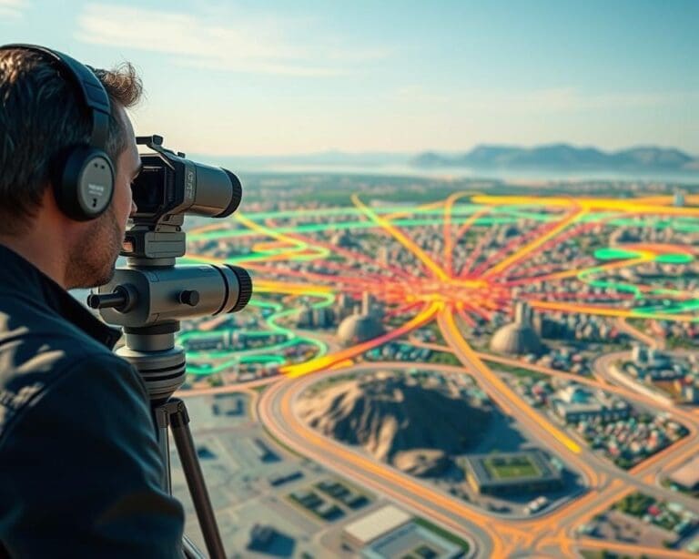
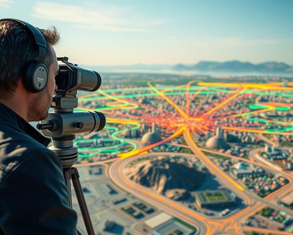
LiDAR is a remote-sensing method that measures distance with laser pulses. Each pulse travels to a surface and returns to the sensor. By recording the time taken, LiDAR calculates precise distances across a site.
These measurements form a three-dimensional point cloud. It can show buildings, terrain, roads, vegetation and infrastructure in fine detail. Unlike photographs or two-dimensional plans, LiDAR captures elevation and the spatial relationships between physical features as measurable 3D data.
You can collect LiDAR data from aircraft, drones, vehicles, mobile mapping systems or fixed terrestrial scanners. This gives you options for large surveys, restricted sites and projects that need high accuracy. The technology supports mapping, planning, surveying, construction, flood-risk assessment and infrastructure work across the UK.
However, a sensor alone does not create a finished digital environment. Survey control, scanning conditions, point density, processing, classification and quality checks all affect the result. Raw measurements must be cleaned and converted into useful outputs, such as digital elevation models, meshes, building information models and interactive digital twins.
UK organisations use LiDAR alongside national geospatial datasets, local authority mapping and transport programmes. Guidance from the Environment Agency, Ordnance Survey and the British Geological Survey helps you understand how reliable terrain and spatial data can support design, development applications and environmental monitoring.
How LiDAR technology creates highly accurate digital environments
When you use LiDAR, you collect precise measurements of the world around you. The system turns these measurements into a detailed three-dimensional record of land, buildings, roads, vegetation and other features.
A typical setup has five main parts: a laser emitter, a receiver, a scanning mechanism, a positioning system and processing software. Each part helps place the captured data in the correct location and format.
Understanding LiDAR sensors, laser pulses and point clouds
A LiDAR sensor sends a short laser pulse towards a target. The receiver records the returning signal and measures how long the pulse took to travel out and back. The system uses this travel time, the speed of light and the sensor’s position to calculate distance.
One pulse can create several returns. For example, a pulse may reflect from the top of a tree, its branches and the ground beneath it. This helps you separate canopy structure from the terrain below.
GNSS establishes the sensor’s location during the survey. An inertial measurement unit records its movement and orientation. These systems work together to place each laser return in a shared coordinate system.
The resulting dataset is called a point cloud. It contains many individual points with spatial coordinates, including elevation. Each point may hold extra information, such as intensity, return number, classification or colour.
Point density affects the level of detail you can identify. A dense point cloud can show smaller features, such as kerbs, roof edges and tree branches. It may need more storage, processing power and survey time.
Why LiDAR data delivers precision and reliable spatial detail
The right LiDAR method depends on the area, scale and level of detail you need. Airborne systems cover wide areas from an aircraft. They suit regional terrain surveys, flood mapping, coastlines, forestry and major infrastructure corridors.
Terrestrial laser scanning works from ground level. You can use it to capture façades, interiors, structures and construction sites with fine detail. Mobile systems combine laser scanning with vehicle-based positioning, making them useful for roads, streets, railways and urban assets.
Drone-mounted systems reach difficult terrain and areas with dense vegetation. They can collect measurements where steep ground, poor access or safety risks make conventional surveying harder.
Accuracy depends on factors such as sensor quality, flight height, scanning angle, surface conditions and positioning. Survey teams check these factors against control points and project requirements.
From raw LiDAR scans to digital environments
Raw returns need processing before you can use them in a digital environment. Software removes unwanted points, corrects positioning errors and classifies features such as ground, buildings, roads and vegetation.
You can convert the processed cloud into a digital terrain model, digital surface model or three-dimensional building model. These outputs support measurement, visualisation, design checks and spatial analysis.
LiDAR data can be combined with aerial imagery, photogrammetry, GNSS surveys and total station measurements. You can link it with building information models and geographic information systems to improve interpretation and project coordination.
The Environment Agency and Ordnance Survey provide important UK context for national mapping and data terminology. The US Geological Survey offers broad guidance on LiDAR principles. These references help you understand how survey data is captured, described and prepared for practical use.>
Key applications of LiDAR mapping and 3D data in the UK
LiDAR mapping helps you understand physical spaces in three dimensions. Local authorities, surveyors, engineers, architects, developers and infrastructure owners can view ground levels, buildings, structures and natural features in one digital environment.
In urban planning, you can assess site levels, boundaries, access routes and nearby buildings before work begins. This supports feasibility studies and planning applications. You can test proposed buildings, streets and public spaces against an existing 3D setting.
Detailed models help you study views, daylight, overshadowing and visual impact. This gives design teams a clearer basis for discussions with planning officers, residents and other stakeholders.
During construction and refurbishment, LiDAR records existing conditions with limited physical contact. Surveyors can create accurate topographical surveys, elevations and sections. Design teams can use scan-to-BIM workflows to build reliable models from measured data.
Repeated scans let you compare construction progress with the design model. You can check installed work, measure excavations and stockpiles, and verify completed areas. Clash detection can identify conflicts between structural, architectural and building services elements before they cause delays.
Transport and infrastructure owners use LiDAR across roads, railways, bridges, tunnels, airports, power networks and utility corridors. Mobile mapping can capture long routes at speed, reducing the need for many separate ground-survey visits.
You can use the data to identify clearance problems, carriageway defects, vegetation encroachment and changes in asset condition. It supports route design, maintenance planning, safety reviews and digital asset registers.
LiDAR elevation data has an important role in flood-risk and water management. You can model drainage paths, surface water flow, river corridors and coastal terrain. This supports catchment studies, flood-defence design and emergency planning.
LiDAR is one input to a hydraulic model, not a replacement for hydrological data, site inspections or professional modelling. Ground conditions, rainfall records, river measurements and local verification remain important for dependable assessments.
Forestry, agriculture and land managers can measure canopy height, woodland structure and terrain beneath vegetation. Repeated surveys show changes over time. The data can support habitat assessment, woodland management, carbon-related studies and erosion monitoring.
You can examine field levels, drainage patterns and obstacles that affect access or land use. This creates a stronger basis for planting plans, habitat work and maintenance decisions.
Heritage specialists use LiDAR to record historic buildings, monuments, archaeological landscapes, quarries and industrial sites. The method can capture complex detail without extensive physical contact.
These 3D records support condition assessment, interpretation, restoration and long-term monitoring. Historic England’s heritage information can provide useful context when LiDAR is combined with site records and other evidence.
Emergency planners can combine terrain and building data with GIS, aerial imagery and live information. You can use the results for visibility analysis, evacuation planning, operational training and incident response.
In the UK, Environment Agency LiDAR coverage and Ordnance Survey mapping are useful sources for many projects. National infrastructure programmes can provide further survey data for major transport and utility work. Licensing, resolution, update frequency and permitted use vary between datasets, so you need to check each source before relying on it.
LiDAR can support a digital twin when you combine it with current asset information, sensors and operational data. A working system is needed to update the model over time. A single scan shows the recorded state at one point, while a maintained digital twin reflects ongoing change.
Benefits and considerations when using LiDAR for digital modelling
LiDAR gives you a detailed three-dimensional view of terrain, buildings, structures and vegetation. Airborne, mobile and drone-based systems can cover large or difficult sites quickly. Remote capture also reduces the time your team spends near traffic, steep ground, construction work or other hazards.
Repeat surveys let you measure change over time and support safer, better decisions. A reliable 3D context can reveal constraints, test design options and explain proposals to different stakeholders. You can also use processed point clouds with GIS, CAD, BIM, digital twins, hydraulic models and visualisation software.
Before commissioning a survey, define the required accuracy, point density, coverage, classification and file format. Check the sensor, platform, ground control, benchmarks and vertical datum. Weather, traffic, vegetation, flight permissions, privacy and site access may affect the work. Allow for processing, quality checks, storage, software licences and future updates, not only field capture.
LiDAR cannot see through every material, and dense objects may hide services, voids or ground features. Large point clouds also need careful indexing, tiling and coordinate management. Automated classification can save time, but you should review results where safety, planning, engineering or legal decisions depend on them. Record survey conditions, processing stages, checks and limitations so your model remains useful, traceable and ready for reliable updates.