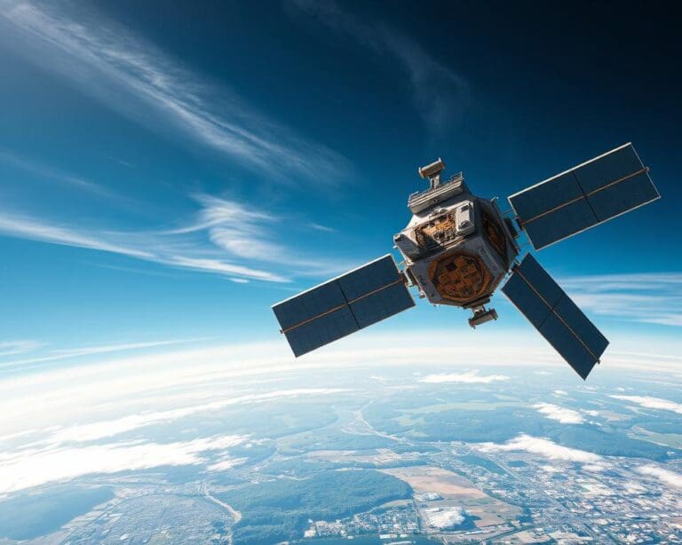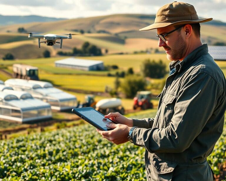
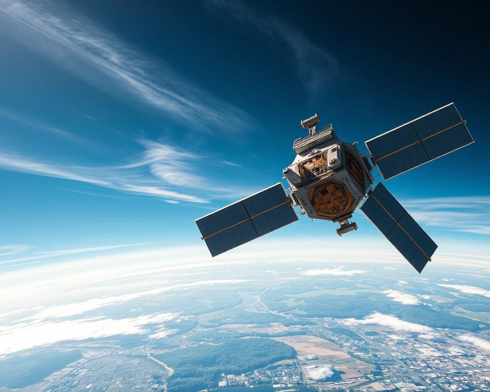
Satellite technology links space-based systems with services you use every day. It helps deliver broadband, television, navigation apps, weather forecasts, emergency support and environmental research, often without drawing attention to the satellites behind them.
Its main roles are communication, navigation and monitoring. Satellite communications carry voice, data, television and internet signals over long distances. This is valuable where fibre and mobile networks are limited, costly or damaged.
Satellite navigation provides accurate positioning, timing and route guidance for your phone, car, aircraft and ship. It also supports farming, transport, financial networks and public services across the UK.
Earth observation and satellite monitoring record changes in the atmosphere, oceans and land. These systems help you track weather, climate risks, floods, wildfires and changes in land use. Geostationary satellites can watch a fixed region, while low Earth orbit satellites often provide sharper images and lower-latency broadband.
Satellite services do not replace ground networks. Ground stations, fibre-optic links, data centres and receivers turn signals into useful services. Their greatest value is often the extra coverage and resilience they bring. This makes space technology important to UK telecommunications, transport, defence, agriculture and scientific research, as recognised by the European Space Agency, the UK Space Agency and Ofcom.
How satellite technology supports global communication
Satellite communications connect people and organisations across long distances. A ground station or user terminal sends a signal to a satellite. The satellite amplifies or processes it before transmitting it to another location. This route can cross oceans, mountains, deserts and sparsely populated regions.
Satellite internet and broadband connectivity
Satellite internet can provide broadband connectivity where fibre cables or mobile masts are hard to build. Your setup may include a satellite dish or an electronically steered terminal, a modem and a power supply. You need a clear view of the sky for a stable link.
Geostationary satellites sit about 35,786 kilometres above the equator. One satellite can cover a wide area, which suits satellite broadband and satellite backhaul. The long signal path can create noticeable latency during video calls, gaming and other fast online tasks.
Low Earth orbit satellites operate much closer to Earth. They can support more responsive services, though a network needs many satellites, frequent handovers and broad ground infrastructure. Rain, trees, buildings, installation quality and network capacity can affect your service.
Satellite broadband can support homes, schools, farms, businesses, ships, aircraft and construction sites. It can serve temporary locations where a fixed connection is unavailable. You should check data allowances, congestion, installation costs and expected speeds before choosing remote broadband. Launching and operating large constellations can carry an environmental cost.
Mobile, television and emergency communications
Satellite networks support links beyond the reach of terrestrial systems. Mobile satellite services can connect vessels, aircraft and field teams through specialised terminals. These links are useful when ordinary mobile coverage ends or when teams work far from towns.
Satellite TV sends programmes to dishes at homes, hotels and public venues. The same broad satellite communications infrastructure can carry voice, data and video between distant sites. Operators plan frequencies carefully so that signals remain reliable and networks avoid harmful interference.
Emergency communications are vital after storms, earthquakes and major fires. Disaster response teams can use satellite links when power lines, fibre routes or mobile masts are damaged. Portable terminals can support coordination between hospitals, councils, rescue crews and aid workers.
Bridging the digital divide in remote areas
Satellite internet UK services can strengthen rural broadband UK plans in places where homes are scattered. They give households, schools and small firms a route to online learning, banking, healthcare and public services. This can improve rural connectivity without waiting for a new cable route.
For underserved communities, reliable access can reduce the digital divide. Satellite backhaul may connect a village network or a remote mobile mast to the wider internet. Such links can reach islands, upland areas and distant work sites with fewer local structures.
Performance still depends on weather, equipment, power and network demand. A clear plan helps you match the service to your needs, from basic web access to business traffic. Used with fibre, mobile networks and community projects, satellite services can support more inclusive connectivity.
Satellite technology for navigation and location services
Satellite navigation helps you find your position, plan journeys and manage moving assets. Global navigation satellite systems, known as GNSS, send timed signals from orbit to receivers on Earth. Your device compares the arrival times from several satellites to calculate where you are.
The main systems are operated by different space agencies and governments:
- GPS is operated by the United States.
- Galileo is operated by the European Union.
- GLONASS is operated by Russia.
- BeiDou is operated by China.
A smartphone, car system, aircraft, ship or delivery platform can use signals from more than one constellation. This can improve signal availability and positioning performance in busy areas. Surveying tools, farm machinery and logistics systems use the same location technology for more demanding tasks.
Positioning, navigation and timing serve different needs. Positioning identifies your location. Navigation helps you choose and follow a route. Precise timing synchronises telecommunications, electricity networks, financial transactions and digital infrastructure.
Satellite-based positioning services support road transport, aviation and maritime operations across the UK. Emergency teams use location data when responding to incidents. Mapping, construction, agriculture and delivery networks depend on accurate information about vehicles, equipment and land.
High-precision work needs more than a standard phone signal. Land surveyors, farmers and construction teams may use correction data from ground stations or reference networks. These services can guide machinery within a small margin and help monitor bridges, railways and other infrastructure.
Accuracy can fall in places with tall buildings, steep mountains or thick materials. Signals may be blocked, reflected by nearby surfaces or changed by atmospheric conditions. Deliberate or accidental interference can disrupt a receiver. You may lose service indoors, in tunnels or underground stations.
Resilient systems do not rely on one signal. Critical users may combine GNSS with inertial sensors, terrestrial timing sources, visual references and local communication networks. This approach supports safer navigation UK services when satellite signals become weak or unavailable.
Information from the European Union Agency for the Space Programme, the European Space Agency and the UK Government helps explain how satellite systems support transport, timing and public services. Their work covers Galileo, positioning performance and the need for reliable navigation infrastructure.
How satellites support weather forecasting and environmental monitoring
From orbit, weather satellites observe the atmosphere, clouds, oceans and land. Their sensors record visible, infrared and microwave signals, so you can track conditions by day and night. This satellite weather data supports weather forecasting, climate studies and daily planning.
Geostationary satellites watch a wide area from a fixed position above Earth. They provide frequent images of cloud growth, storms and fast-moving weather. Polar-orbiting satellites pass over different parts of the planet and collect detailed measurements for global prediction models.
Weather satellites and severe weather warnings
Satellite instruments can estimate cloud height and movement, air temperature, moisture and rainfall. They measure sea-surface temperature, wind patterns, snow cover and ice cover. These observations give forecasters a wider view than ground stations can provide alone.
Numerical weather prediction models combine satellite observations with data from weather stations, aircraft, weather balloons, radar, ships and ocean buoys. In the UK, the Met Office uses this evidence for meteorological monitoring and severe weather warnings. It can help you prepare for heavy rain, strong winds, snow, heat, fog, flooding and tropical systems.
European organisations such as EUMETSAT support this work with regular data services. Forecast accuracy still depends on sensor performance, data processing, model quality, the type of event and the forecast period. Satellites reduce gaps in coverage, yet they cannot remove every uncertainty.
Climate monitoring and environmental research
Climate monitoring satellites record long-term changes across land, sea and air. Their Earth observation records help you study sea levels, ice loss, ocean temperatures, vegetation and rainfall patterns. Researchers use climate change data to assess risks and plan stronger adaptation measures.
Some instruments track greenhouse gases, including carbon dioxide and methane. Other systems support ocean monitoring by measuring surface temperature, currents and changes in marine conditions. This information supports environmental research carried out by agencies such as the European Space Agency and national science teams.
Regular observations can reveal gradual shifts that are difficult to detect from a single site. Environmental satellite imagery helps researchers compare regions over many years. It can support decisions about farming, water supplies, conservation and coastal protection.
Tracking wildfires, floods and changes in land use
Satellites give emergency teams a broad view during fast-moving disasters. Thermal sensors support wildfire tracking by identifying heat and smoke across large areas. Optical images can show burn scars, damaged forests and roads cut off by fire.
During heavy rain, radar and optical data support flood mapping, even when rivers spread across remote land. Satellite disaster monitoring can show which communities, farms and transport routes face danger. Emergency response teams can use these maps to plan access, assess damage and direct aid.
Repeated images reveal land-use change, such as new roads, expanding towns, forest loss and shifting farmland. This record helps you understand pressure on habitats and water systems. It supports safer planning, conservation work and informed management of natural resources.>
The benefits and future of satellite technology
The benefits of satellite technology reach far beyond areas with strong mobile or fibre networks. You can use satellites for communication, navigation, timing and weather information across borders and difficult terrain. They also support emergency services when storms, floods or other events damage terrestrial infrastructure, adding valuable satellite resilience.
The future of satellites will depend on closer links with fibre, mobile networks, cloud computing, sensors and artificial intelligence. Satellite constellations in low Earth orbit could provide lower-latency broadband, more frequent Earth observation and new scientific data. Direct-to-device links, satellite-to-satellite connections and automated data processing may also make services faster and more useful.
This growth brings risks as well as opportunity. More spacecraft can increase orbital congestion, light pollution, spectrum conflicts and collision risks. Cyberattacks, signal interference, space weather and equipment faults may also disrupt services. Strong encryption, back-up systems, careful monitoring and resilient ground infrastructure will be vital.
Earth observation innovation can support UK priorities such as climate resilience, rural connectivity, transport, research and emergency response. Space sustainability must remain central, with accurate tracking, collision avoidance and safe disposal at the end of a satellite’s life. Satellites are not a complete solution, but they complement terrestrial networks and help you stay connected, informed and better prepared for natural hazards.